Maps and Atlases

This page is a place holder for the various maps and projects associated with cartography and mapping at Boston College. To demonstrate some of the possibilities for these projects, the DS team at Boston College Libraries worked with the 1737 Nouvel Atlas (figured right) to begin exploring methods for display and interpretation.
Among other approaches, the class will transcribe different texts using Scripto as well as georefernce the associated maps.
Maps from Nouvel atlas de la Chine, de la Tartarie chinoise et du Thibet
Maps from Nouvel atlas de la Chine, de la Tartarie chinoise et du Thibet
-
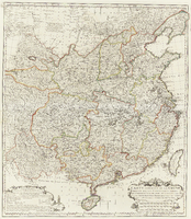 Carte generale de la Chine dressé sur les cartes particulieres que l'Empereur Cang-Hi a fait lever sur les lieux par les R.R.P.P. Jesuites Missioñaires dans cet Empire par le Sr. D'Anville Geographe Ordre du Roi
 -
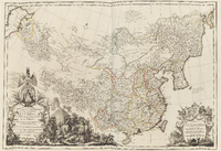 Carte la plus generale et gui comprend la Chine, la Tartarie Chinoise, et let Thibet: Dressée sur les cartes particulieres des RR PP Jesuites, par le Sr. D'Anville geographie ordre du Roi et la Mer Caspienne tiré des Geographes et des Historiens Orientaux
 -
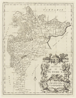 Province de Pe-Tche-Li
 -
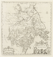 Province de Kiang-Nan
 -
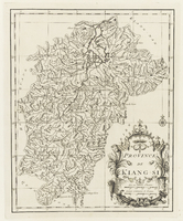 Province de Kiang-Si
Maps and Atlases from the Williams Collection at Boston College
-
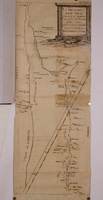 A Map of the Red Sea, From 24° to 30° North Lat., corrected from the Observations of late Voyages particularly those of the Author during a coasting Passage from Yambo to Cosibe
 -
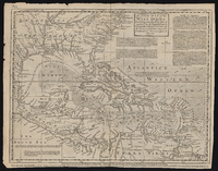 An Accurate Map of the West Indies: Exhibiting Not Only All the Islands Possess'd by the English, French, Spaniards & Dutch, but Also All the Towns and Settlements on the Continent of America Adjacent Thereto
 -
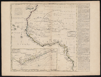 A New and Correct Map of the Coast of Africa: From Sta. Cruz Lat. 30 North to the Coast of Angola Lat. 11 S: With Explanatory Notes of All the Forts and Settlements Belonging to the Several European Powers
 -
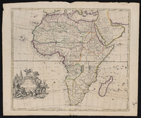 A New Map of Africa: From the Latest Observations
 -
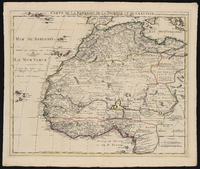 Carte de la Barbarie de la Nigritie et de la Guinée
 -
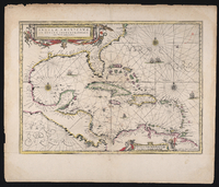 Insulae Americanae in oceano Septentrionali ac regiones adiacentes: a C. de May usque ad lineam aequinoctialem
 -
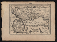 Guinea
 -
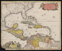 Insulae Americanae in Oceano Septentrionali cum terris adiacentibus
 -
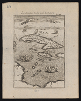 Is. de Cuba et de Iamaica
 -
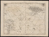 The Island of Jamaica and Cape Gracias a Dios with the Banks
 -
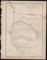 Particular Map of the Western Coast of Africa from Cape Blanco to Cape De Verga and of the Course of the Rivers Senega and Gambia
 -
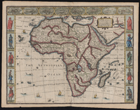 Africae: Described the Manners of Their Habits, and Buildinge Newly Done into English
